


Location
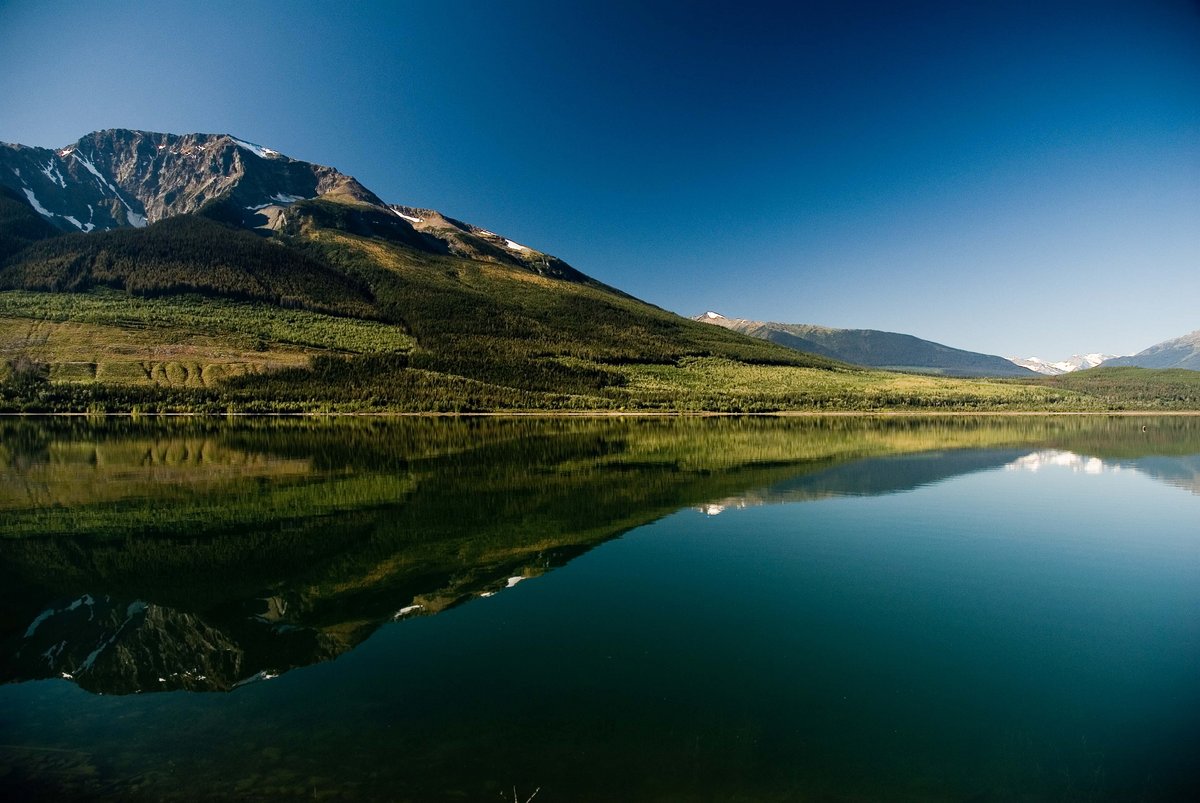
Valemount is located 320km North of Kamloops, 120km west of Jasper National Park and 36km west of Mount Robson Provincial Park, home of the highest peak in the Canadian Rockies, Mount Robson at 3,954m (12,972 ft). The following General Area Map provides an overview of Valemount’s location within the Province of British Columbia.
When traveling on Yellowhead Highway #5, our campground entrance is just north of the Village of Valemount, directly on Highway #5. Please check our Local Map for the exact campground entrance.

Driving Distances
How long does it take to get here? For your convenience, we have created a list of Driving Distances to Valemount from some of the major centres.
- Mount Robson Provincial Park: 36 km
- Prince George: 300 km
- Kamloops: 320 km
- Vancouver: 675 km
- Jasper: 120 km
- Banff: 410 km
- Edmonton: 495 km
- Calgary: 530 km